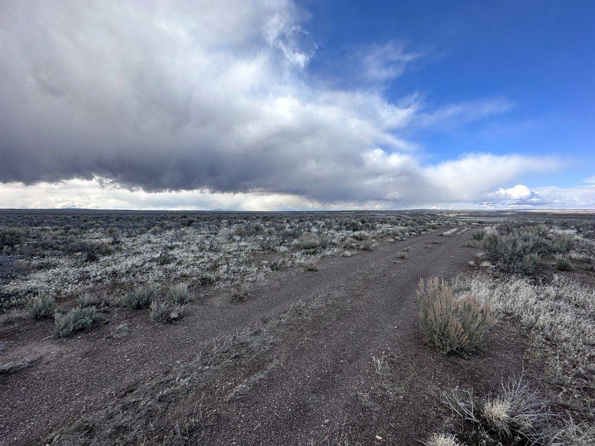
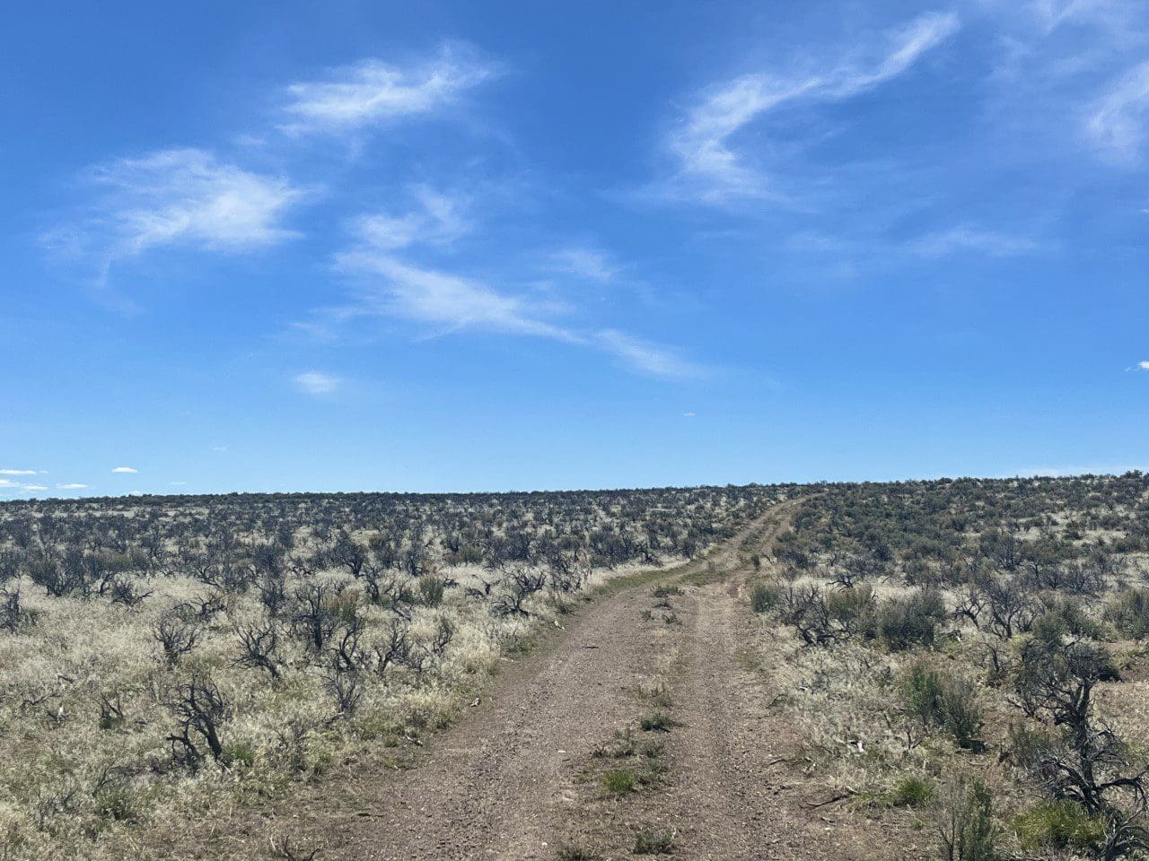
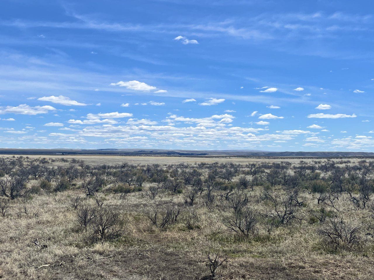
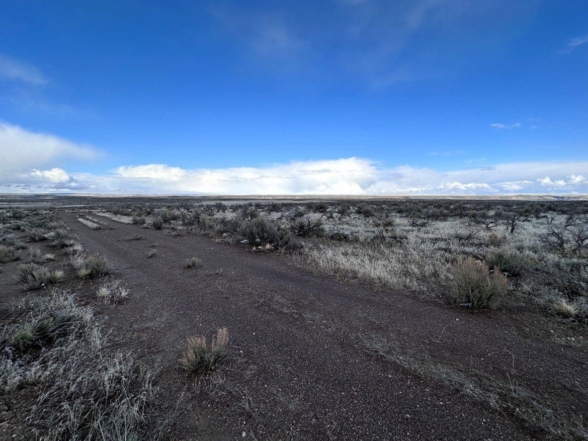
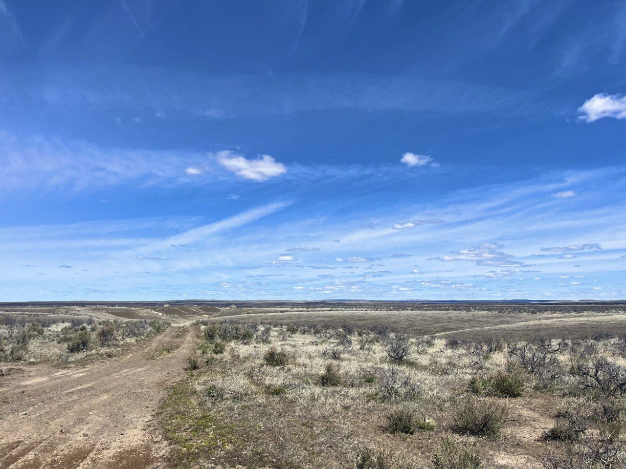
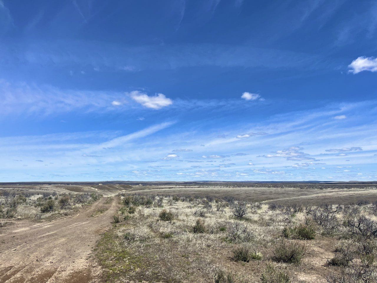
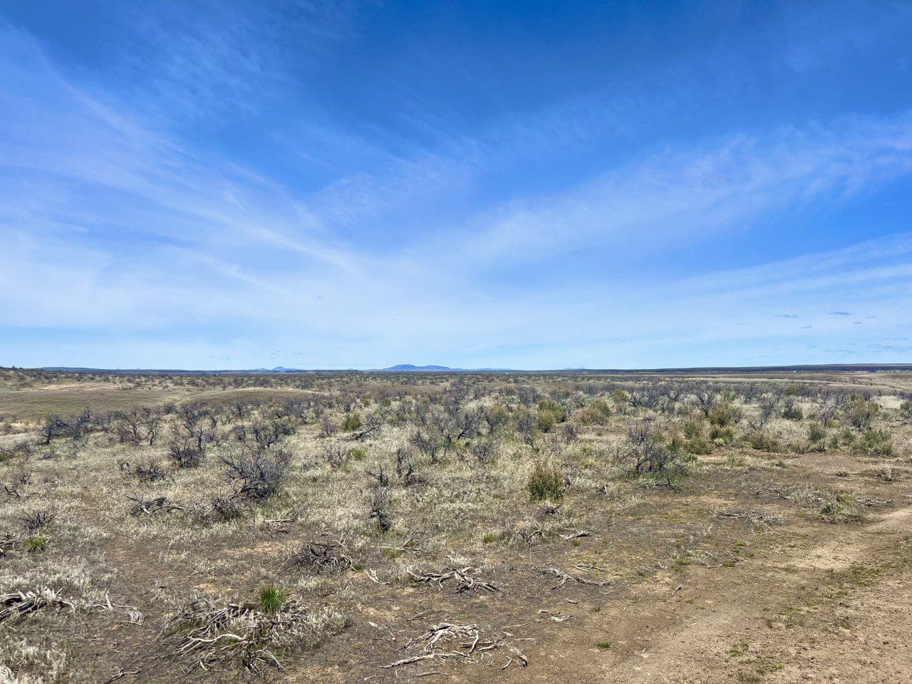
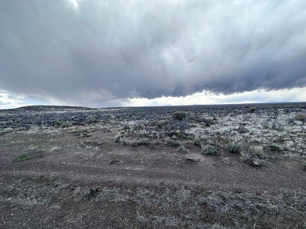
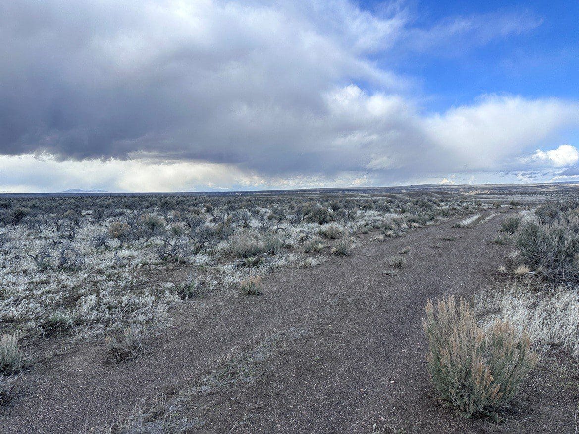
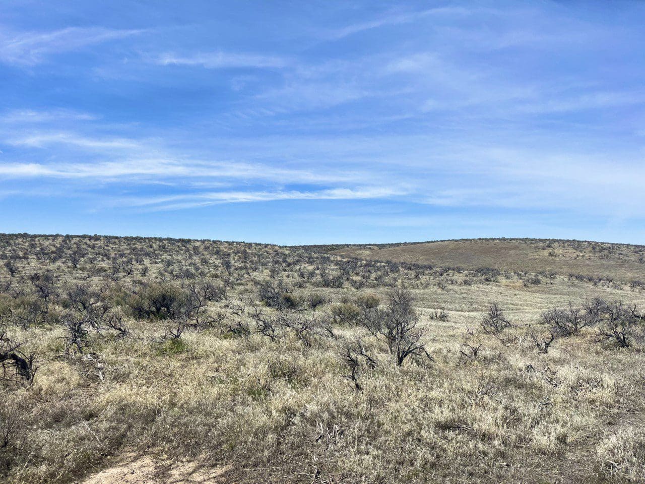
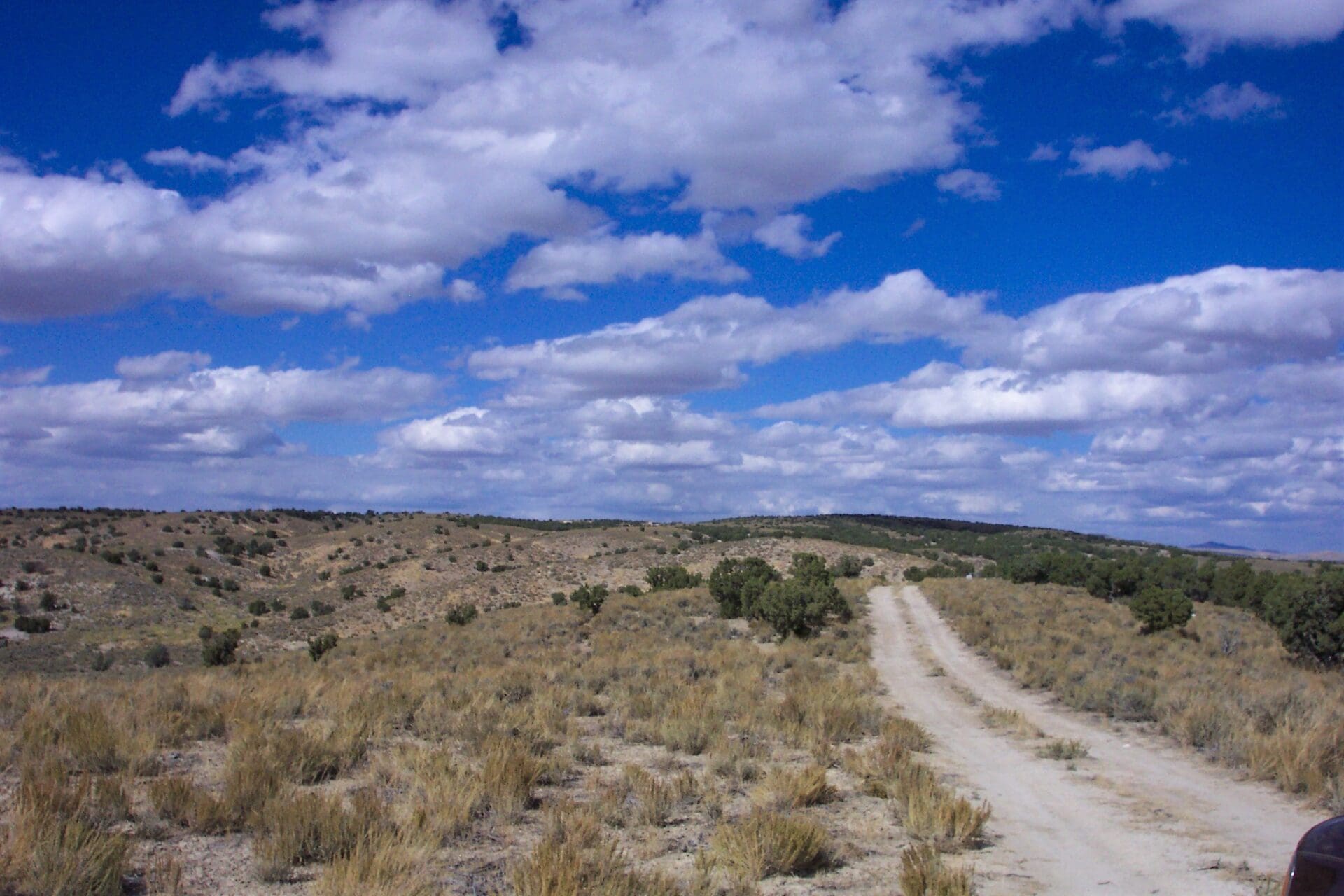
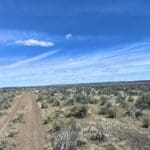
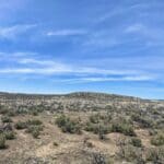
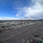
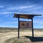
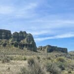
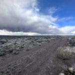
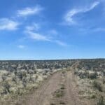
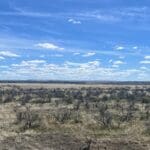
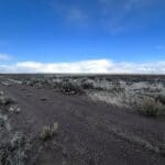
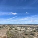
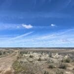
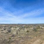
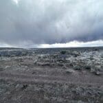
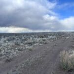
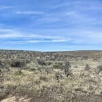
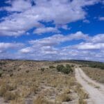
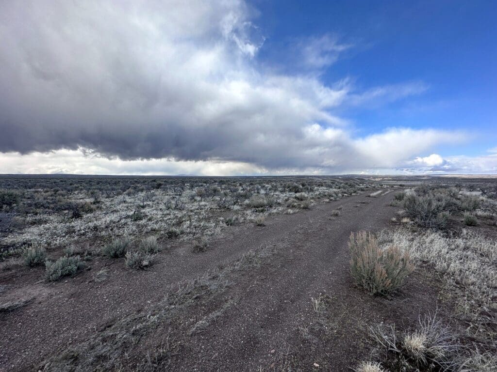
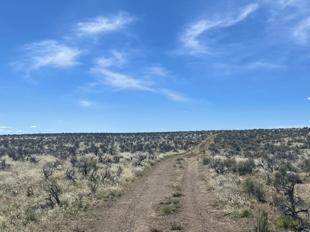
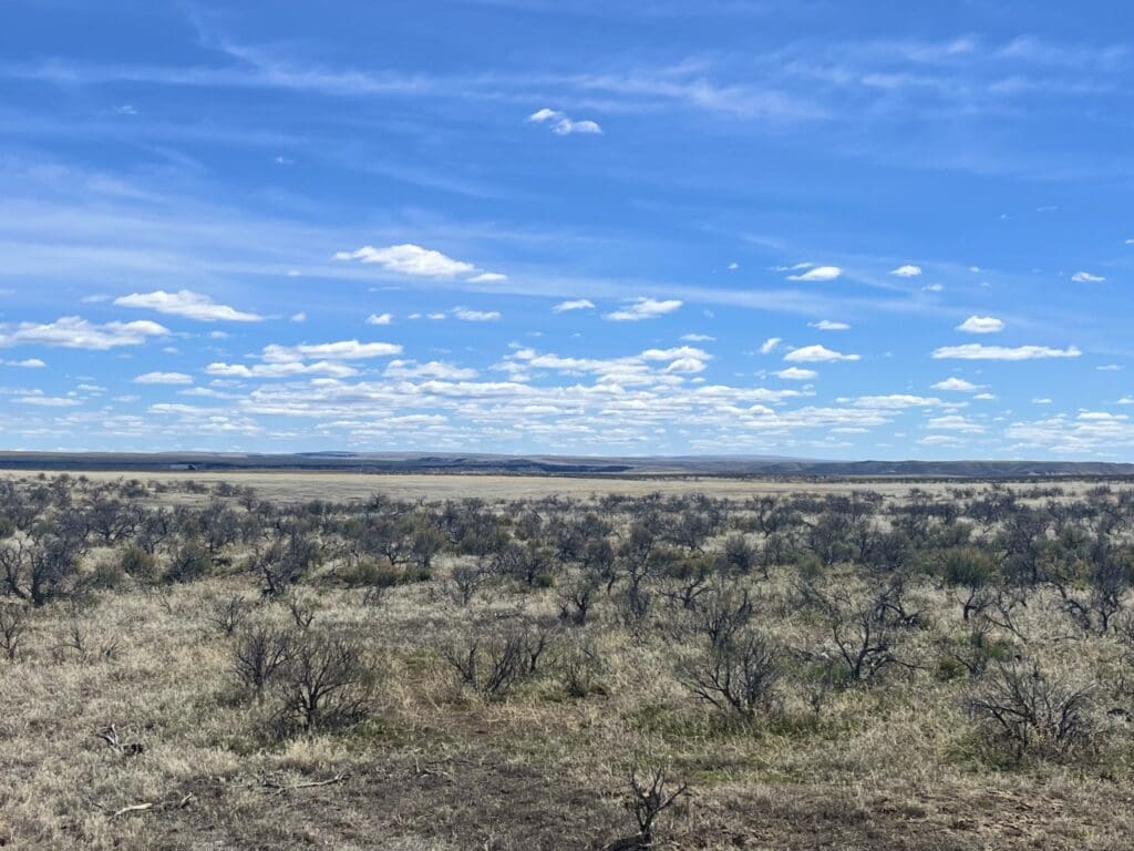
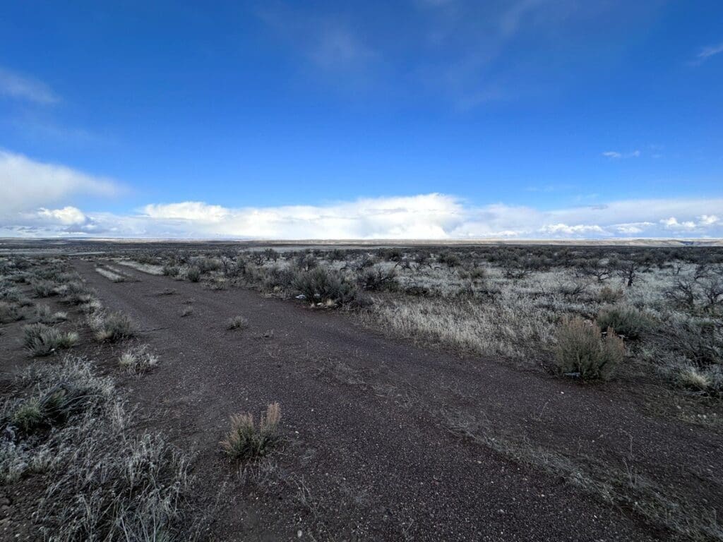
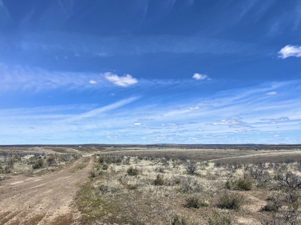
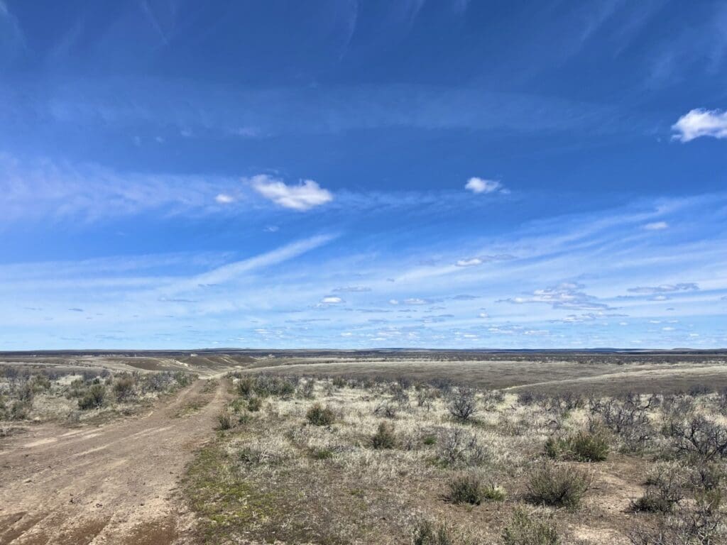
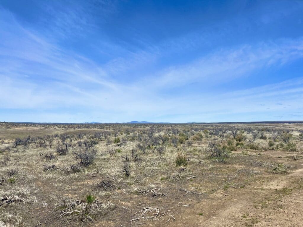
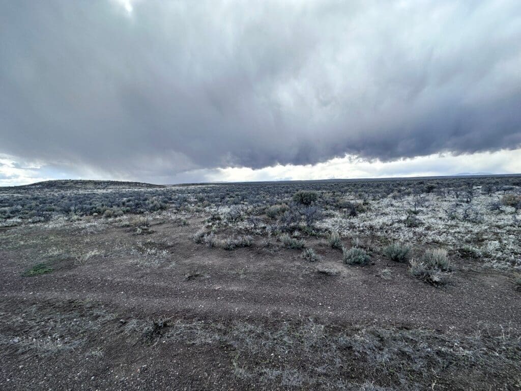
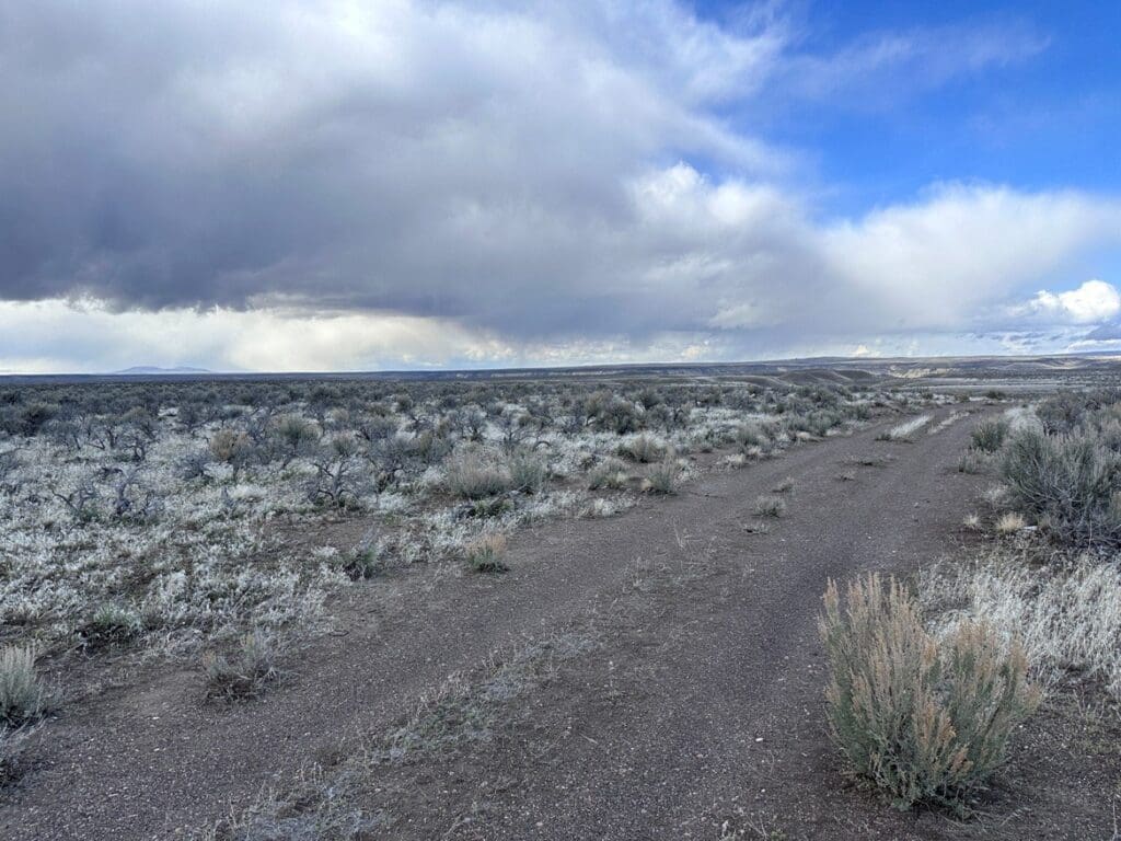
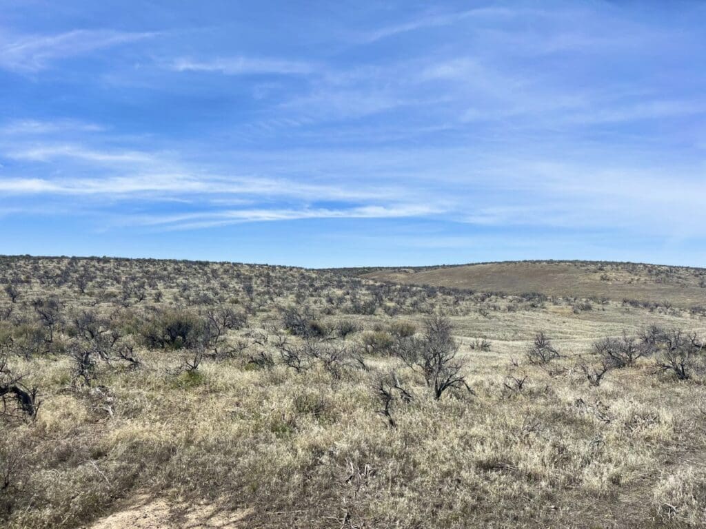
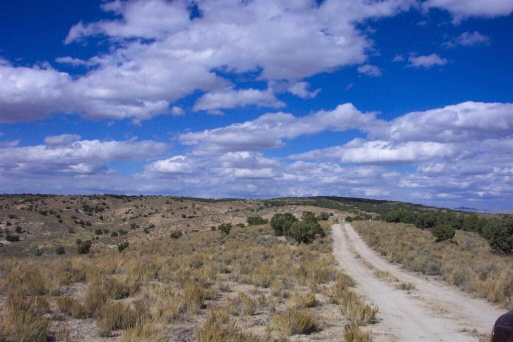
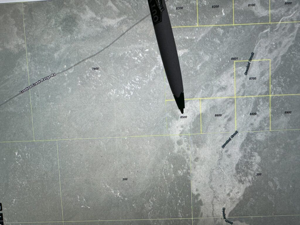
40.00 ACRES IN BEAUTIFUL MALHEUR COUNTY, OREGON ~ LAND NEAR IDAHO AND NEVADA BORDERS.
- Property ID: 40 MALHR
- State: Oregon
- County: MALHEUR
- GPS Coordinates: 42.640 -117.940
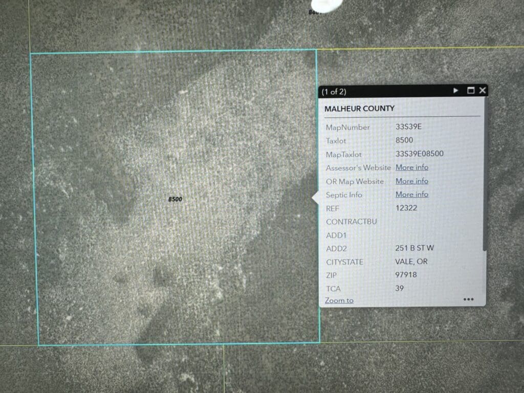
- Dimensions: See plot Plan
- Zoning: Residential
- Association Fees: None
- Phone: Cell
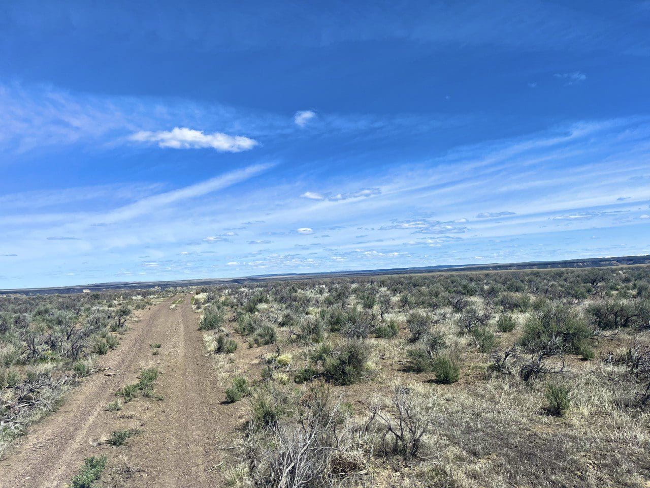
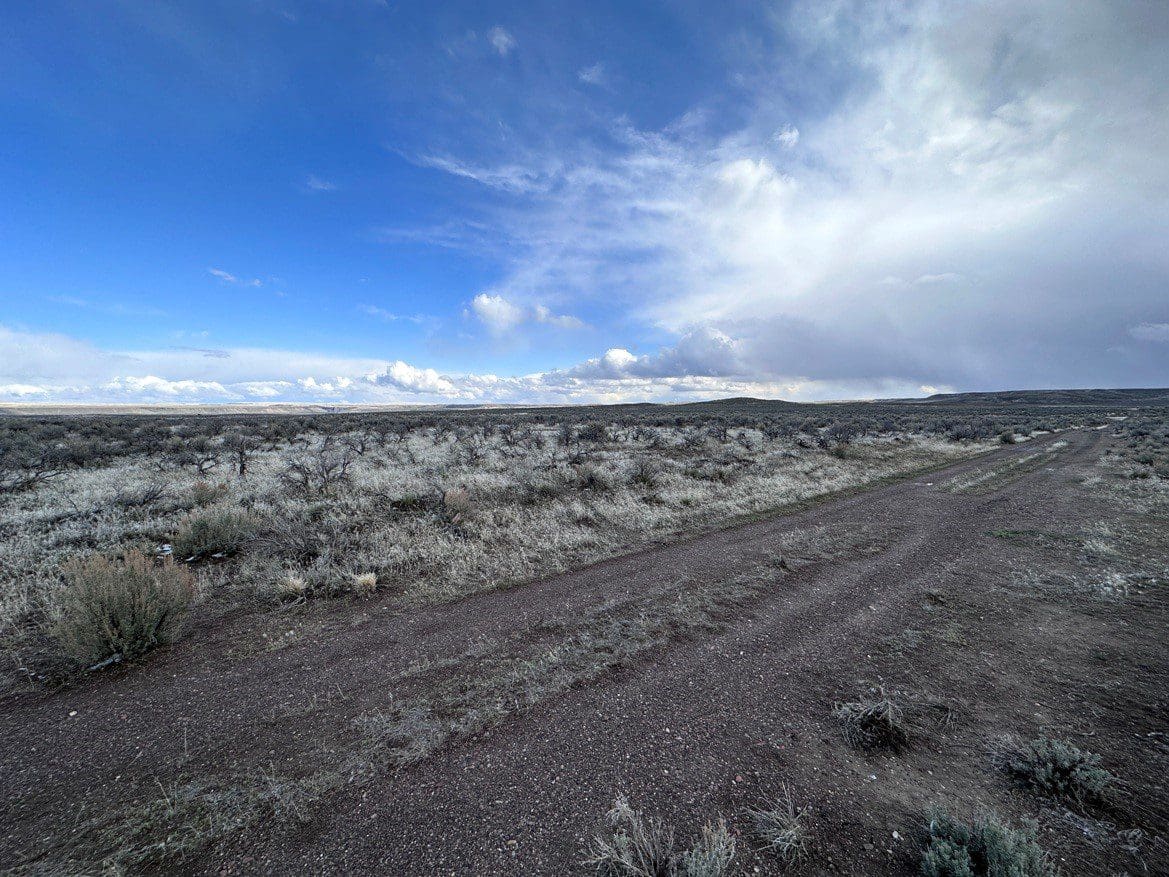
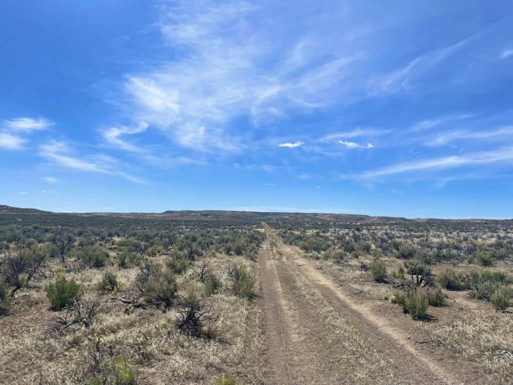
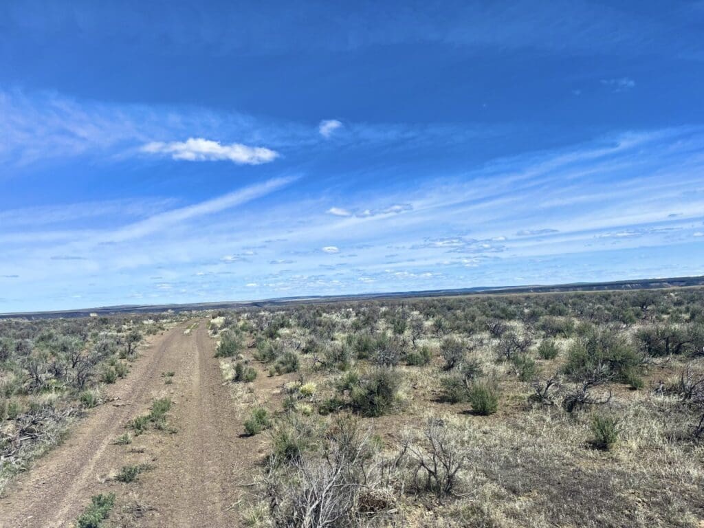
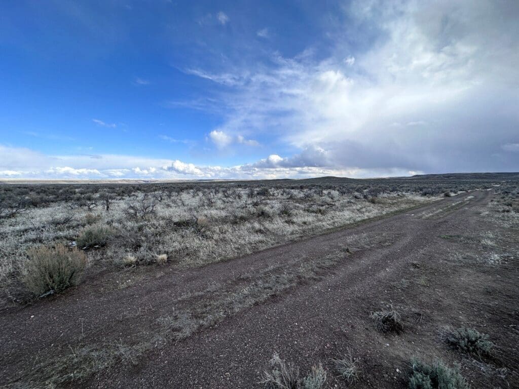
- Roads: Dirt
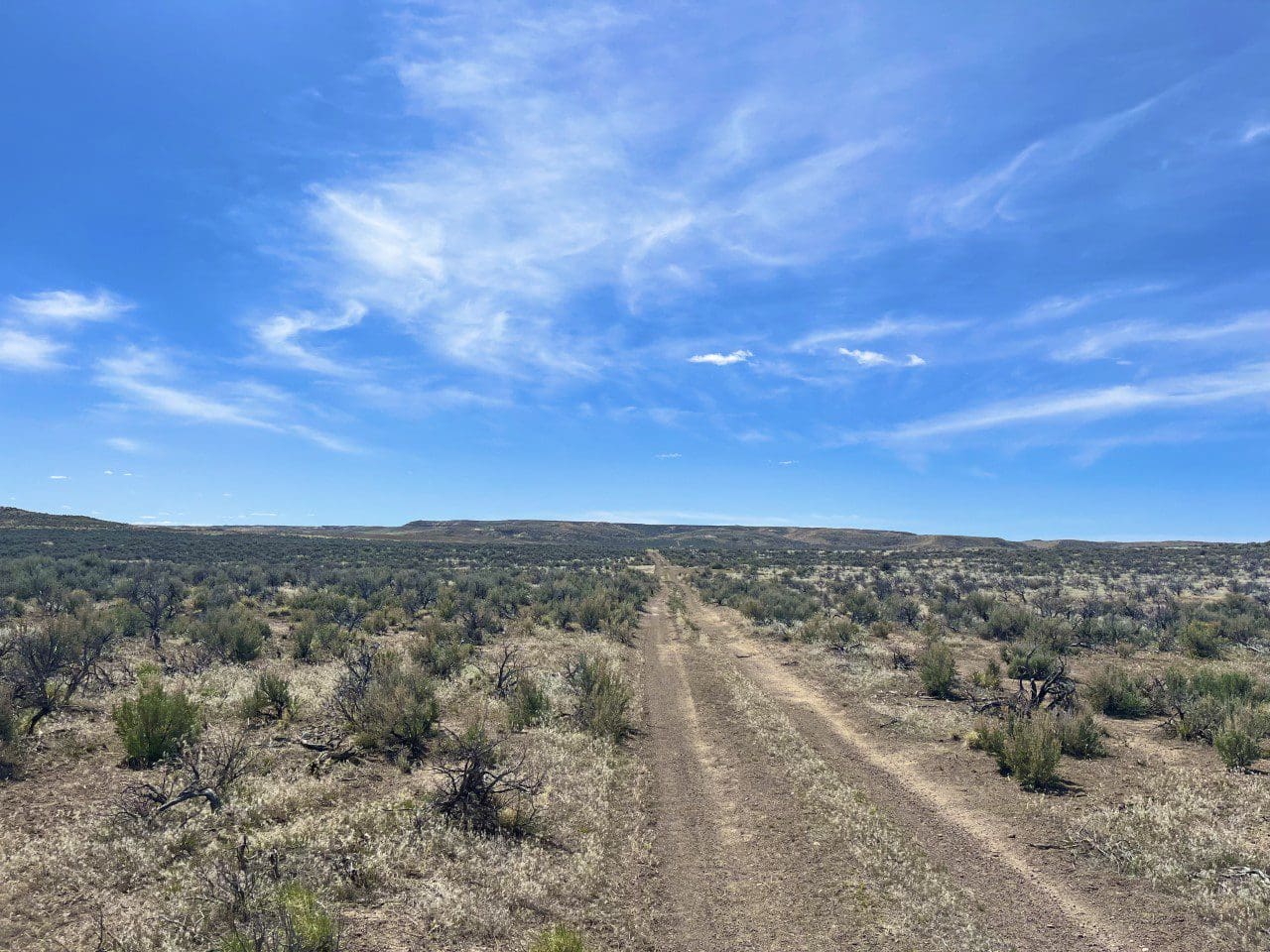
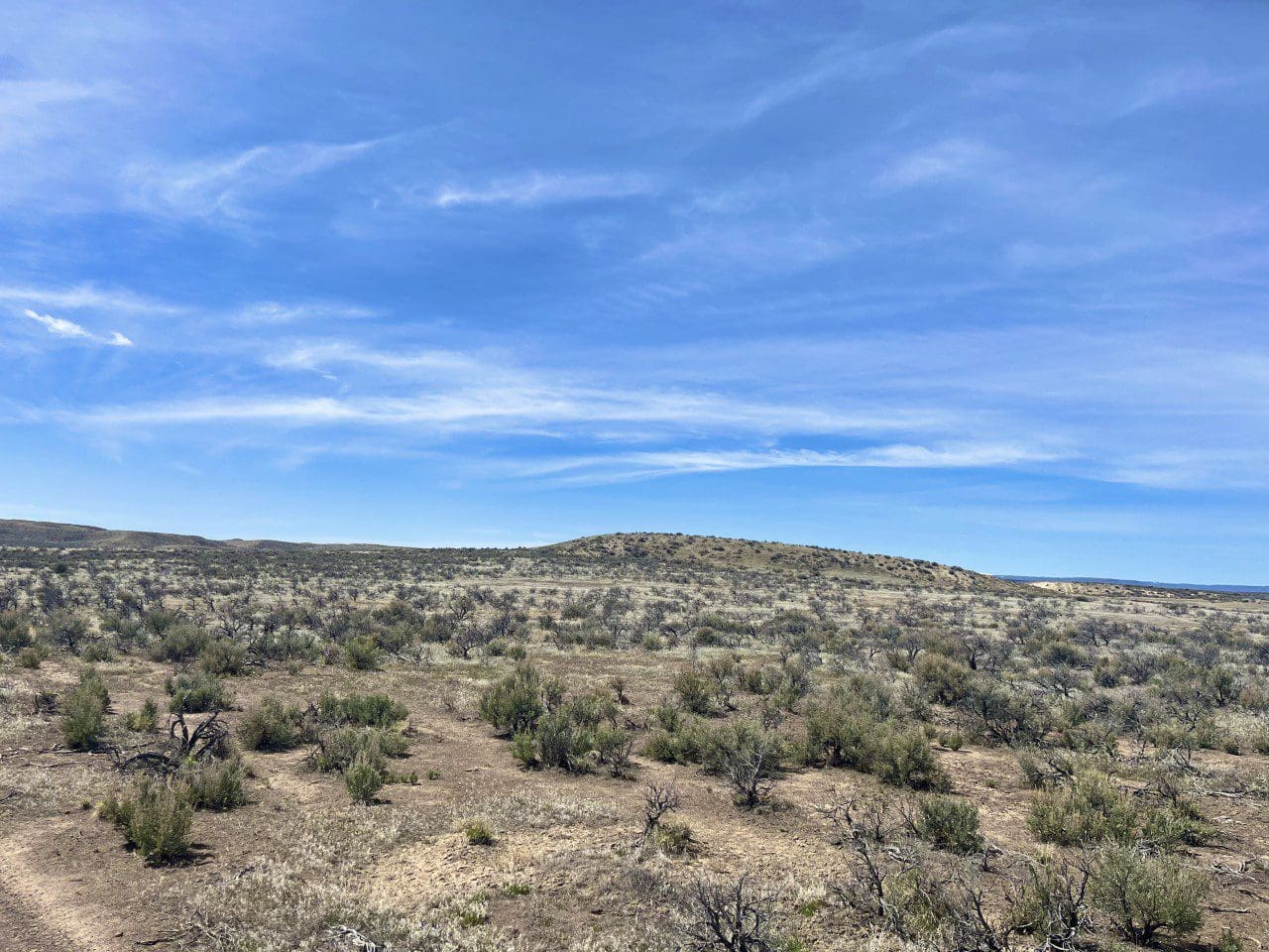
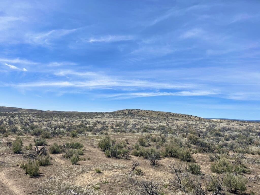
- Type of Terrain: Rolling
- Elevation: 4500
- Water: Must Drill Well
- RV Policies: OK, CAMPERS, R.V'S, TINY HOMES
- Closing / Doc Fee: $499.00
- Title Info: Free & Clear
- Type of Document: Special Warranty Deed
- Price: $9,550
- APN: 12322
- Property Address: OFF HIGHWAY 95, JUST WEST OF BURNS JUNCTION TWP 33. S, R 39 E.,SEC 33, SW1/4SW1/4 40.00 ACRES MALHEUR COUNTY, OREGON
- Lot: 8500
- Total Acreage: 40.00
- Taxes: $
- Time Limit to Build: None
- Power: Avail
- Sewer: Must install Septic
- Status: Sold
Details
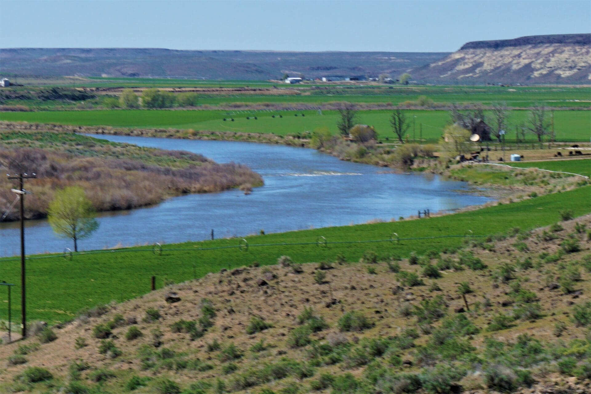
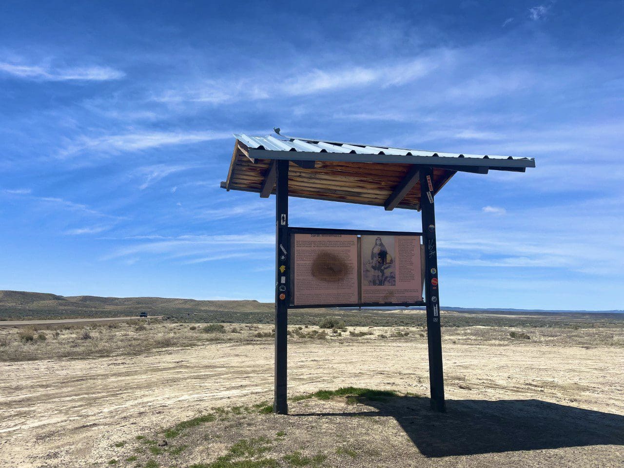
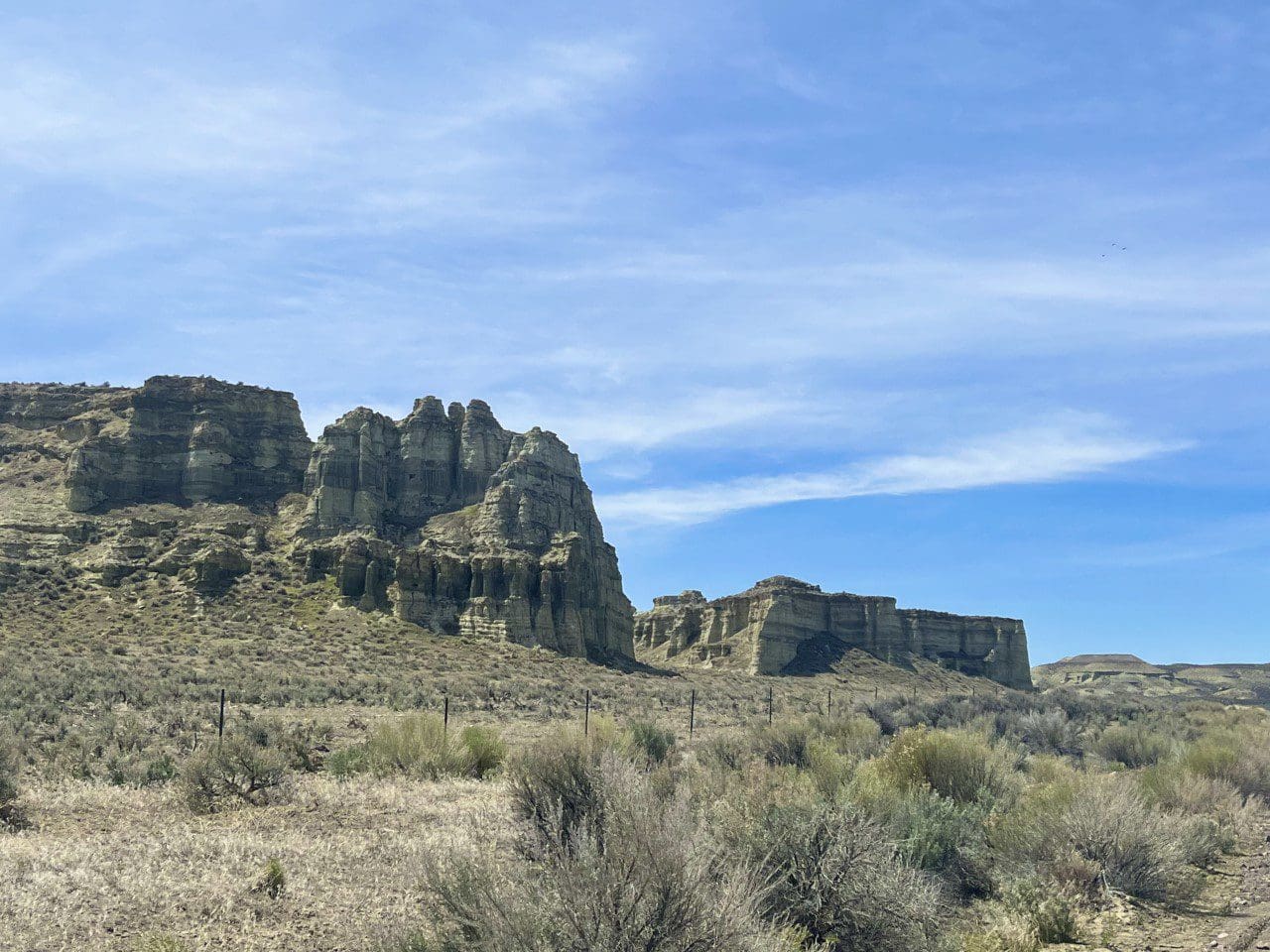
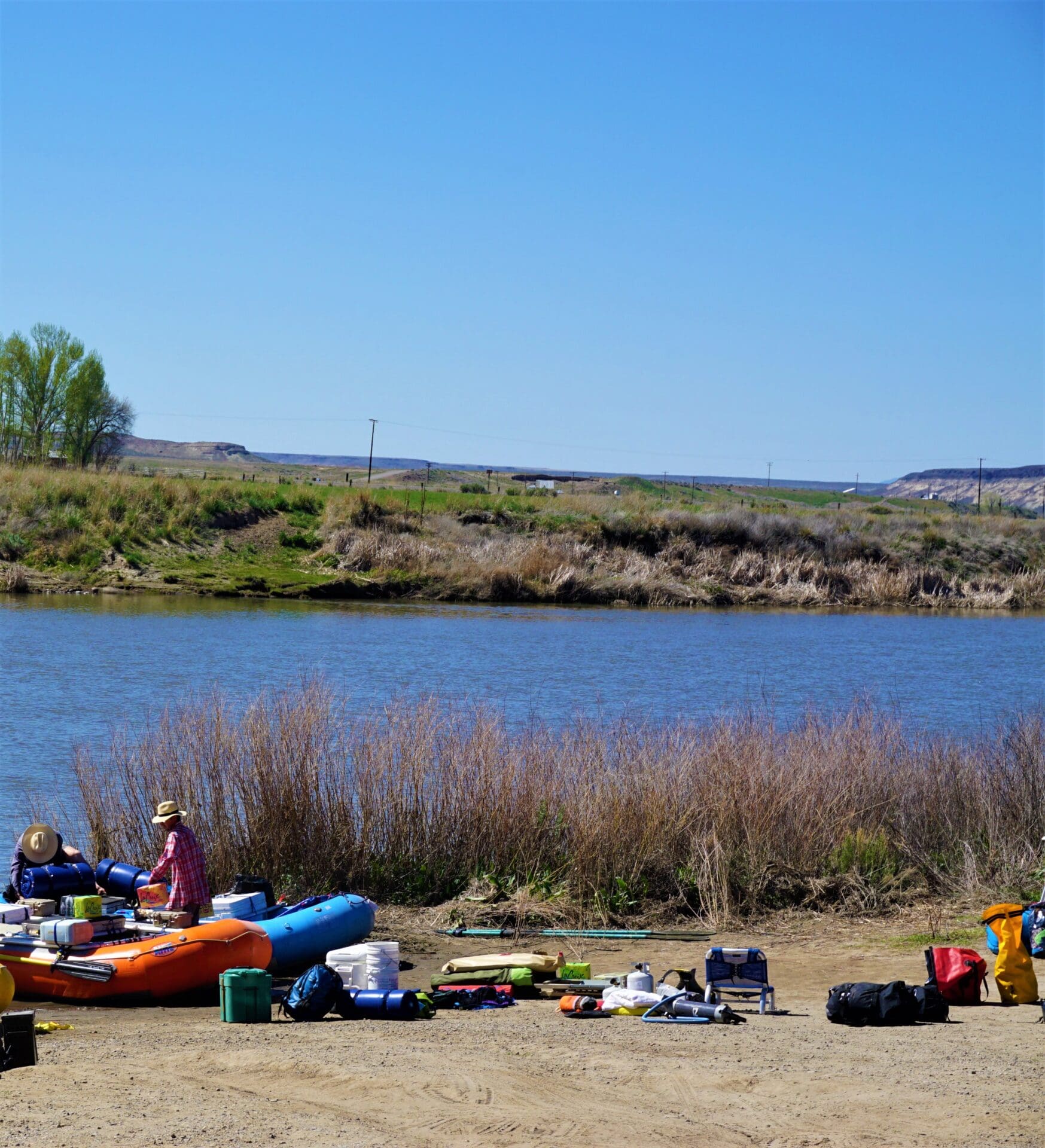
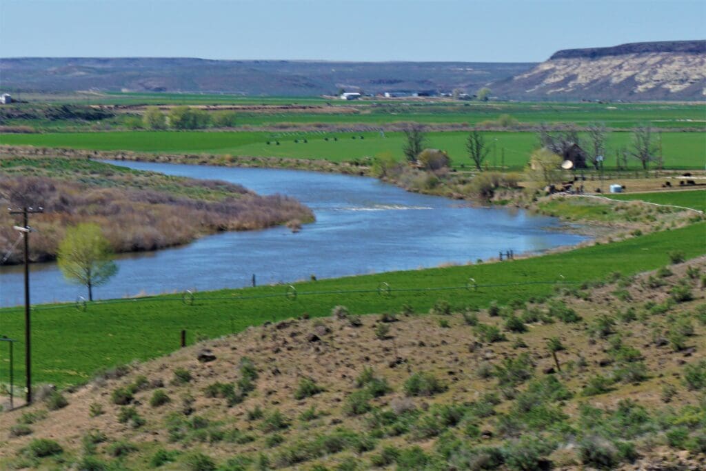
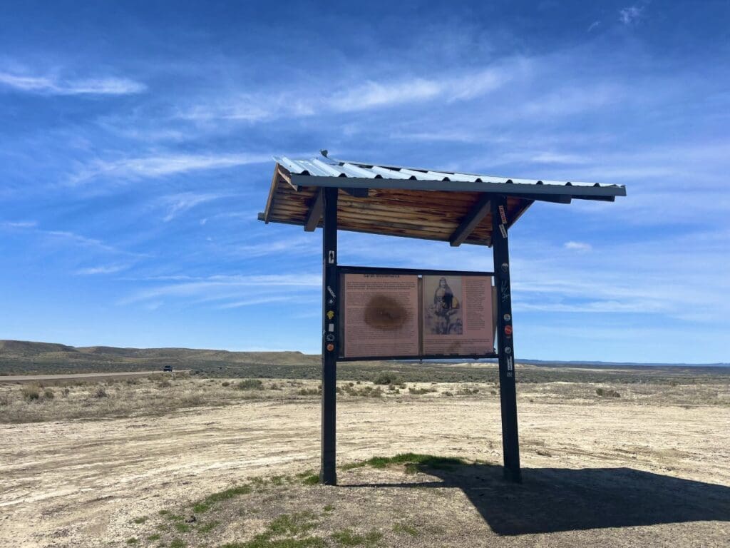
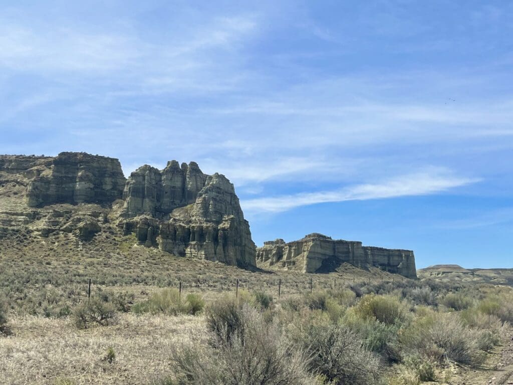
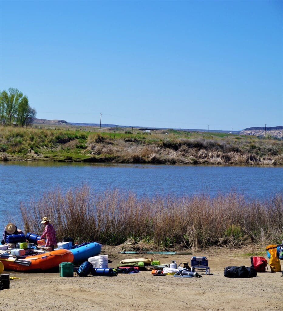
BEAUTIFUL HUGE 40 ACRE MINI RANCH IN EASTERN OREGON VERY HARD TO GET MALHEUR COUNTY BIG SKY AND BIG PLACES NEAR THE FAMOUS OWYHEE RIVER AND THE MAJESTIC MUST SEE PILLARS OF ROME. GRAB THIS LARGE CHUNK OF OREGON LAND AS THESE PARCELS DON’T LAST LONG ON THE MARKET. BUY IT NOW OR BEST OFFER.
Disclaimer
All the information we have on this property is to the best of our knowledge and disclosed within the content of this listing page. In most cases we have not seen the property. Any and all other questions regarding this property should be directed toward the city or county of which the property is located. Your due diligence should be performed prior to buying, to ensure the property meets your needs and criteria. We encourage you to make a physical site visit before you commit to purchase. We are selling this property “As-is, where-is”, in current condition, “With all faults” basis, subject to ordinary wear and tear from the effective date until closing, and except as expressly set forth in this listing seller has no responsibility to repair and damage to or defect in the property, replace any of the property or otherwise remedy any matter affecting the condition of the property, including access, legal or not, roads, utilities, property line surveys, etc.
